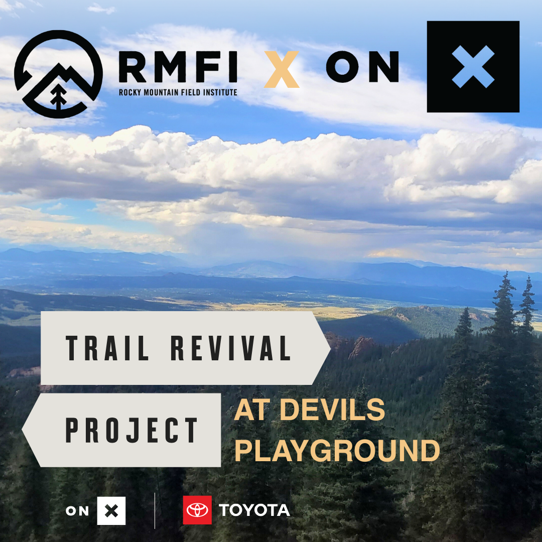
RMFI x onX Trail Revival Project at Devils Playground
This is a community stewardship opportunity where we welcome volunteers of all backgrounds and communities.
Calla Balliett, Community Engagement Coordinator calla@rmfi.org
Registration for this event has closed.
Volunteer CalendarMeeting location:
Volunteers will be parking in a closed area off Co Rd 62, please follow directions carefully once you leave Highway 67 as there is little to no cell phone service. To arrive at this location, you will follow the driving directions below; map links have been provided for reference.
onX Projects Maps
Select the map that corresponds with your product of choice:
Hunt Project Map
Backcountry Project Map
Offroad Project Map
Time:
8:30 am - 2:30 pm
Online registration will close Thursday, July 17th, at midnight. Please register for this stewardship day online; however. We do ask that all volunteers be available for the entire workday due to the project location. If you require any additional accommodations, please don't hesitate to contact us before registering.
Driving Directions:
Coming from Highway 24 you will be turning left off of Hwy 67 just after the entrance to Mueller State Park onto Teller County Road 62. The sign reads, "CR 62" and there is also a brown Forest Service sign that points you in the direction of the Crags; this sign reads "Crags C.R. 3 1/2". You will now be on a dirt road for the remainder of the drive. This road is accessible to non 4x4 vehicles though we recommend that you drive carefully. Approximately 1.6 miles up CR 62 you will reach a fork at the Rocky Mountain Mennonite Camp, stay to your RIGHT. You will continue up CR 62 for another 2.5 miles into a more forested section of the road. You will pass the Raspberry Mountain Trailhead, the Crags Trailhead, and will pass the Campground. Once you have passed the campground, the road continues, and past a large meadow on your right, there will be a dirt road on your left with a gate, you have arrived where a RMFI staff member will let you through. This is a passable, steep dirt road that does not require a 4x4 vehicle. The road is free of obstacles, though we do recommend a vehicle that has some clearance and tires that are in good condition, as you will be parking up the road in a clearing.
We recommend downloading driving directions prior to leaving.
Driving Directions - Google Maps - CR 62 Forest Service Gate
Activity:
In 2019, RMFI broke ground on the new Devils Playground Trail and will continue our efforts in the 2024 season. The Devils Playground Trail traverses approximately 7 miles and 4,300 feet starting from a trailhead located near the Crags Campground (Divide, CO) and terminating at the summit of Pikes Peak, elevation 14,115 feet. The trail is located entirely on the USFS Pike National Forest. The trail is one of two primary hiking trails to the summit of Pikes Peak, known to be one of the most visited mountains in the world. The Devils Playground Trail offers a shorter, less crowded route as compared to Barr Trail, and provides hikers with stunning views of mountain ranges to the west.
So come join RMFI and onX for a unique opportunity to dig in and volunteer on this project to reroute the Devils Playground trail, building new trail tread and trail structures on this iconic mountain. One should be prepared for a 2-mile hike 1-way to above 11,400 ft. Project tasks may include decompacting hardened soils, moving materials such as rock and dirt, and building trail structures at the direction of RMFI staff. This is strenuous work using tools in the outdoors at high elevation. Be prepared for a rewarding day of trail work! If you have concerns about accessibility on this stewardship day, please reach out to us, or for your reference please use our Trail Terminology Guide to learn more about this activity.
For more information about what to bring for the stewardship day, visit our FAQ page.
Land Acknowledgment
This is a community stewardship day, which we acknowledge takes place on the traditional unceded territory of the Núu-agha-tʉvʉ-pʉ̱ (Ute), Cheyenne, and Jicarilla Apache Nations*. We acknowledge the painful history of genocide and forced occupation of their territory, and we honor and respect the many diverse indigenous people connected to this land on which our stewardship days take place.
*If you would like to learn about the native territories that each of our projects are located on, please follow this link: https://www.rmfi.org/projects.