Pikes Peak
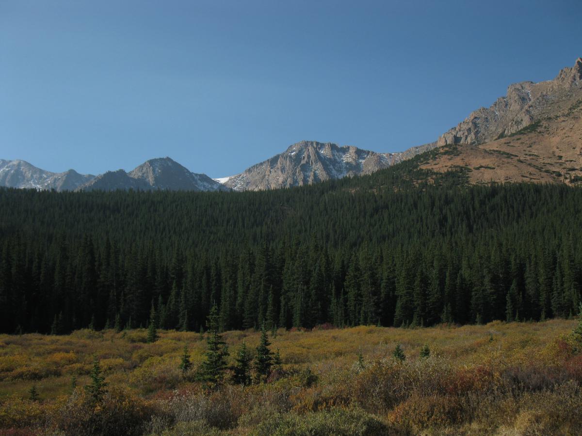
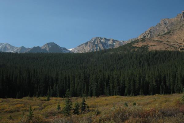
Pikes Peak, renowned as ‘America’s Mountain,’ hovers over the City of Colorado Springs and touches the sky at an elevation of 14,115 feet. The Peak is one of the most important natural areas in the region. Informally called an "island in the sky," the massif hosts montane, sub-alpine, and alpine ecozones, which are isolated by at least 60-miles from the closest ecozones in the Mosquito Range. The mountain provides critical habitat for a wide range of native flora and fauna. This area is of significant local importance as a principal water source for the communities of Colorado Springs and Manitou Springs.
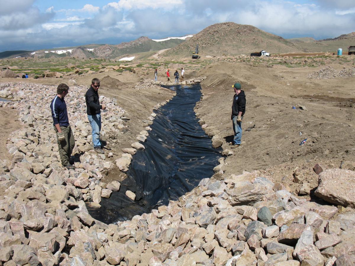
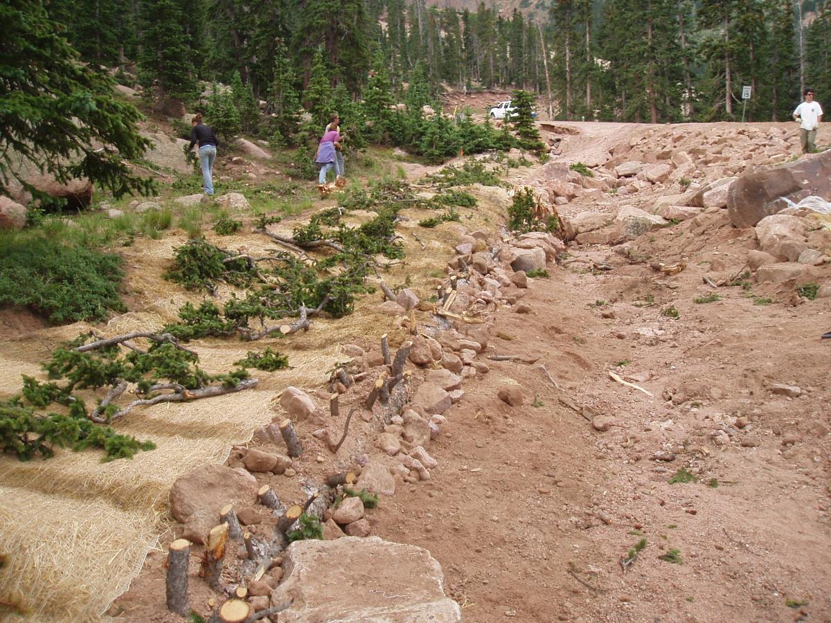
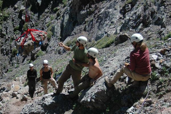
RMFI has an extensive history of stewarding Pikes Peak. Starting in the early 2000's, RMFI worked to mitigate impacts originating from runoff from the Pikes Peak Highway (prior to paving operations) which exacerbated natural erosion processes on the Peak. Gullies on steep slopes in the watershed transported many tons of sediment into fragile wetlands on the Peak. Under a court settlement initiated by the Sierra Club, the City of Colorado Springs and the U.S. Forest Service were instructed to address the erosion and sedimentation problems of the highway and to bring the road into compliance with the Clean Water Act within 10 years of the settlement. Funds were awarded to the Sierra Club for remediation and restoration work outside the highway corridor to address sedimentation in the wetlands. These monies were placed into a fund (the Pikes Peak Fund), with the Sierra Club, the City of Colorado Springs, and the U.S. Forest Service acting as partners to ensure the best use of these monies for erosion control and restoration work. In 2003, the Rocky Mountain Field Institute (RMFI) was contracted by the Pikes Peak Fund to assess the environmental damage outside the highway corridor and begin implementing project work in the watershed. Since 2005, RMFI has spearheaded the Pikes Peak Watershed Erosion Control and Restoration Project, a large-scale, multi-year collaborative restoration effort undertaken by the Pikes Peak Chapter of the Sierra Club, the City of Colorado Springs, the U.S. Forest Service – Pike National Forest, and RMFI.
To date, RMFI and partners have completed six major projects within the watershed including work within the North Crystal Creek, Ski Creek, Glen Cove Creek, Severy Creek, and West Fork of Beaver Creek Basins. These projects have resulted in more than 2 miles of stream channel restoration and stabilization and over 11 acres of restored forestland, wetland, and alpine tundra.
Severy Creek Wetland
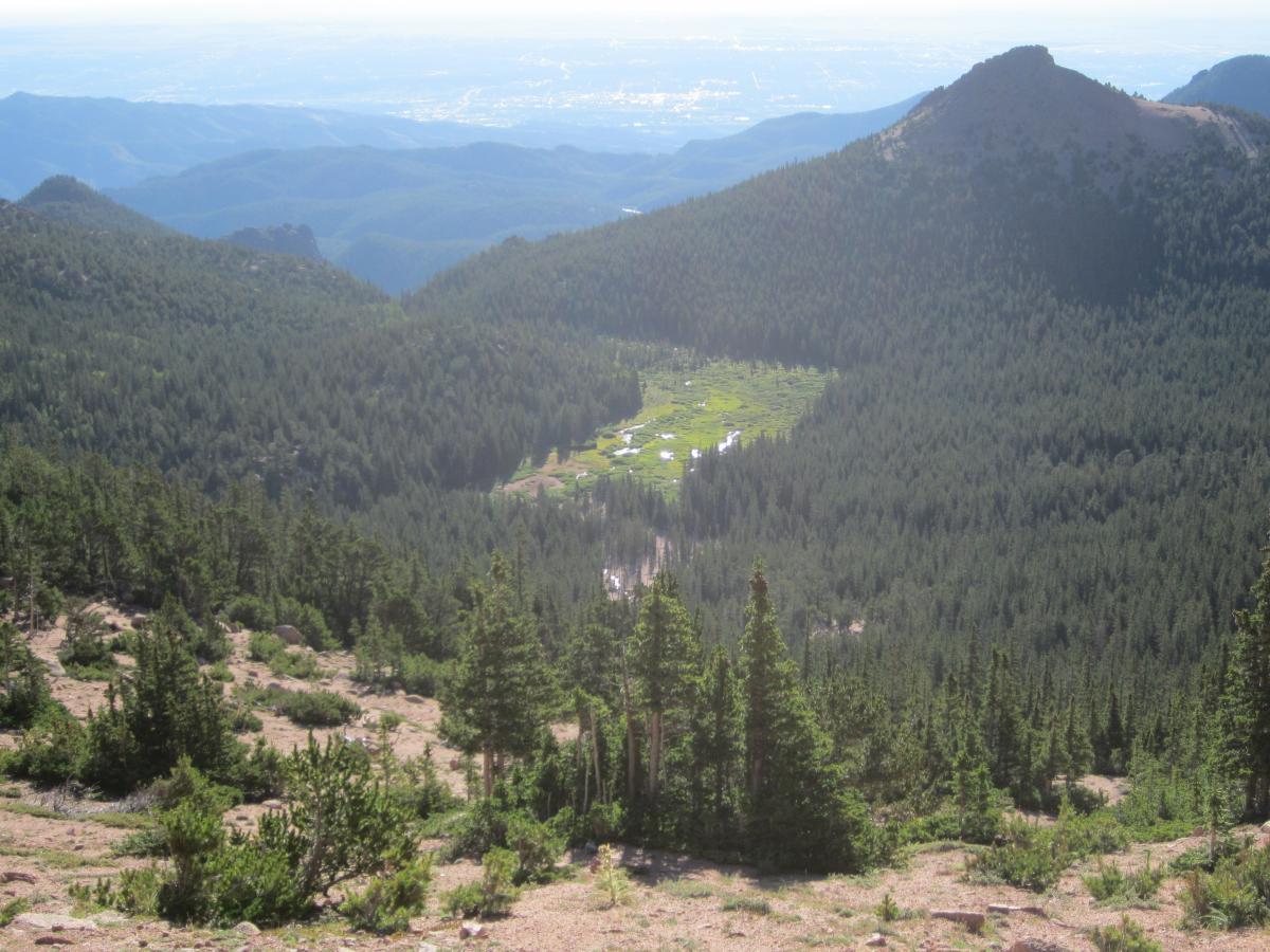
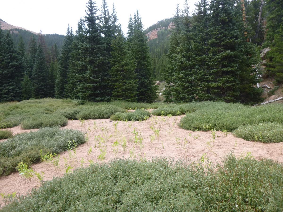
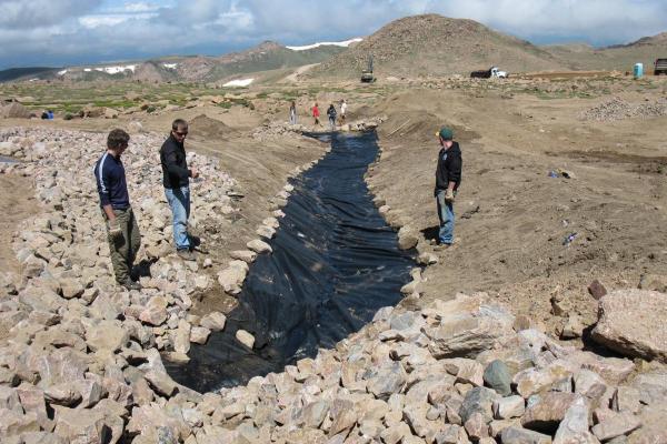
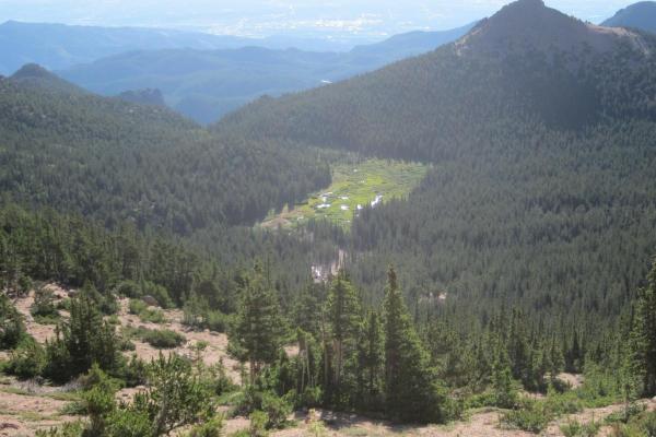
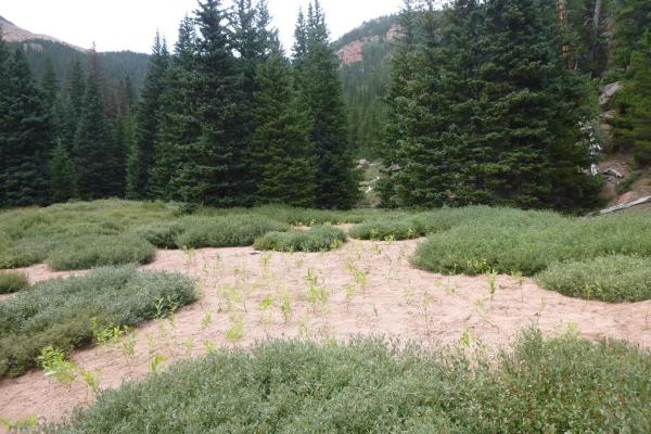
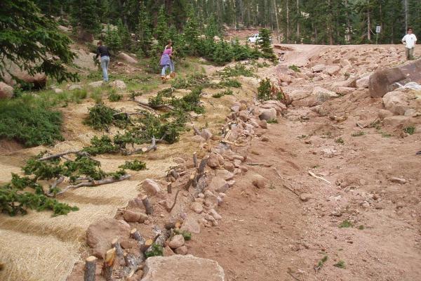
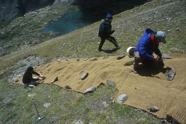
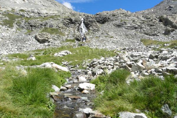
The Severy Creek Wetland has been the largest ongoing restoration site of the Pikes Peak Watershed and Erosion Control Project. This unique wetland covers approximately 14.6 acres of land at an elevation of 10,827 feet (3,300 meters) within the Severy Creek Basin on the northeastern flank of Pikes Peak. The eastern-most portion of the wetland is a fen supported by upward seepage from mineral soil, groundwater through flow from spring fed streams, and groundwater recharge from adjacent slopes. Some areas contain as much as 57.9 inches (147 cm) of peat under a wide diversity of wetland species. The western portion of the fen has been heavily impacted by recent and historic alluvial deposition. Like other wetlands along the Pikes Peak Highway, many tons of sediment originating from off-highway gullies have buried approximately 9.6 acres of fragile peat soils and their associated plant species. Under the Severy Creek Basin Erosion Control and Restoration Proposal (RMFI, 2012), restoring the areas of the Severy Creek Wetland affected by the growing alluvial fan and mitigating the potential threat of additional sedimentation into un-impacted areas was deemed the highest priority goal. In support of this, RMFI completed high priority streambank stabilization work with an AmeriCorps crew during 2012. In succeeding years, RMFI ran 1-week long Volunteer Vacation programs to revegetate and stabilize key areas of the impacted wetland, alluvial fan, and stream channel in 2013 and 2014. In those 2 years, volunteers planted well over 1,000 local sedge, bunchgrass, and cinquefoil shrub plugs into barren alluvial areas, placed numerous log erosion barriers and similar erosion control structures, and strategically planted hundreds of willow stakes where the water table permitted. In 2015, RMFI partnered with Friends of the Peak to run a volunteer workday of native seed collection and planting in the same area, which has helped to fill bare areas in-between earlier transplant plugs. Work in 2016 and 2017 reinforced areas of the 2012 streambank stabilization, including planting willow stakes with a new vertical bundle method for streambank engineering, and to continue to plant more native transplant plugs working westward on the remaining bare alluvial plume.
Pikes Peak Celebration
The 2018 season marked the final year of the Pikes Peak Fund. To celebrate the success of the Fund, partners hosted a Pikes Peak Celebration on Saturday, September 8th. Interested members of the community, including political dignitaries like Colorado Springs Mayor John Suthers, were taken on a tour of various worksites on the Mountain. Three vans shuttled the participants from the bottom of the Mountain with stops at Elk Park Knoll (Severy Wetland), Mile 18, and Glen Cove Wetland. At each stop, representatives from the Fund discussed the work that was done at each site and fielded questions from the participants. The final stop of the tour was at the Halfway Picnic Grounds where lunch was provided. In all, 35 people participated in the tour.
NATIVE LANDS
We recognize the following nations, whose traditional territories we worked on at Pikes Peak:
- Núu-agha-tʉvʉ-pʉ̱ (Ute)
- Cheyenne
- Jicarilla Apache
PROJECT PARTNERS AND FUNDERS
- City of Colorado Springs
- Colorado Water Conservation Board
- Friends of the Peak
- Mile High Youth Corps
- Pikes Peak Fund
- Sierra Club - Pikes Peak Chapter
- U.S. Forest Service

