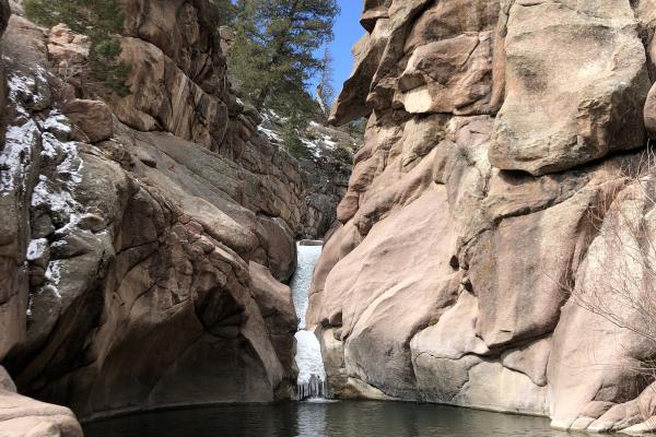


Waldo Canyon
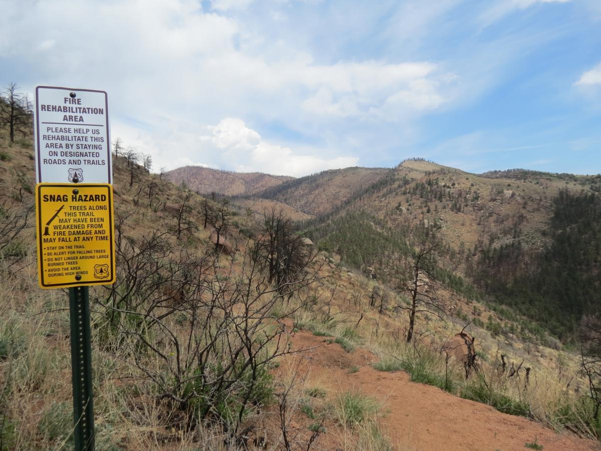
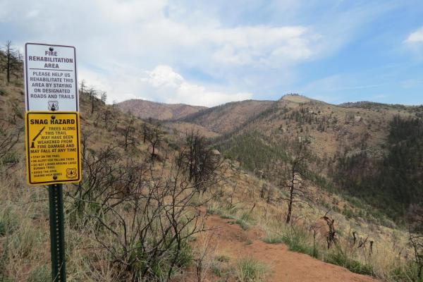
In the summer of 2012, the Waldo Canyon Fire broke out just west of Colorado Springs, burning a total of 18,247 acres in four major sub-watersheds within the greater Fountain Creek Watershed. The loss of nearly 350 homes made it the second-most destructive wildfire in the state’s history, behind only the Black Forest Fire of 2013.
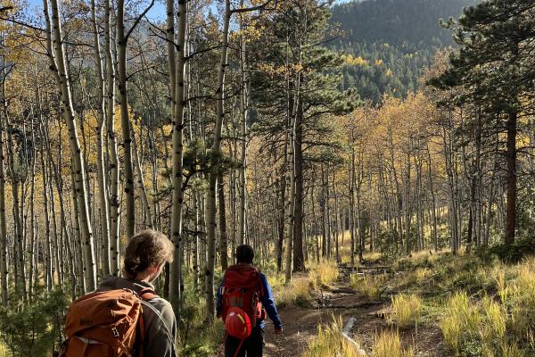
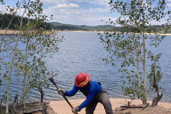
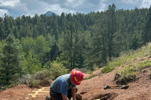
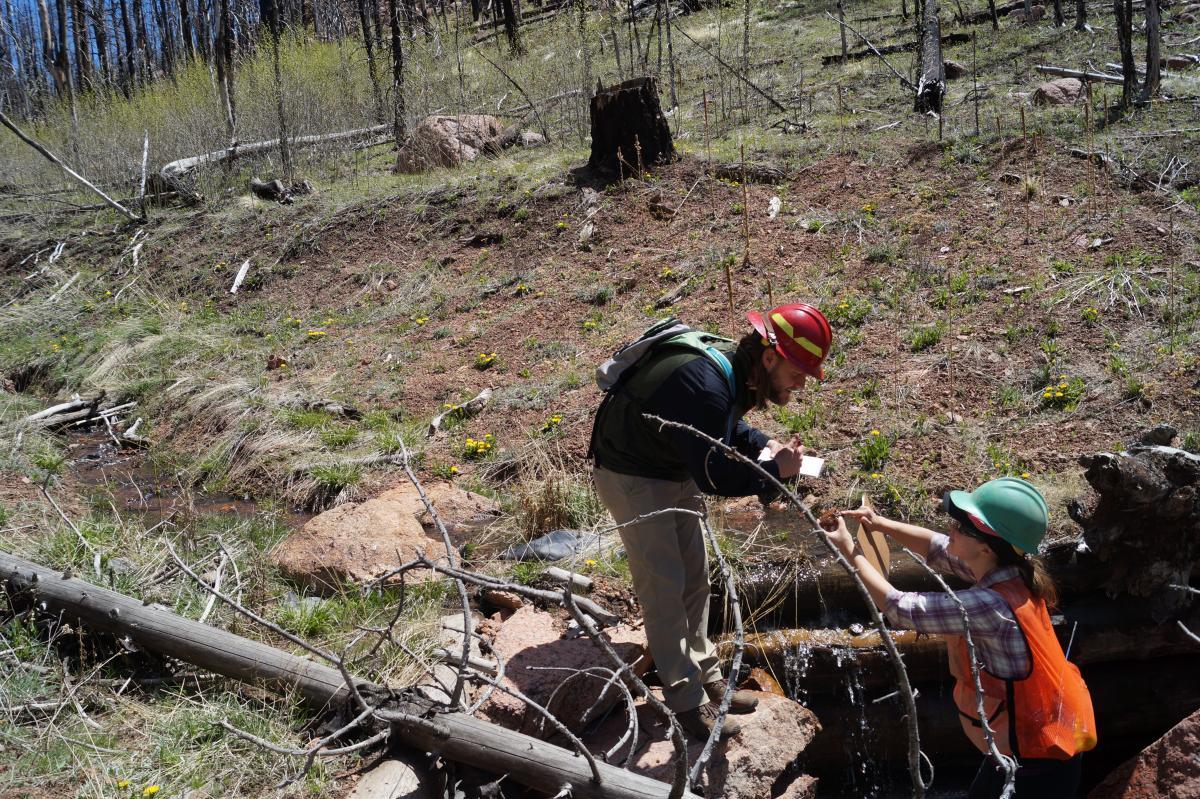
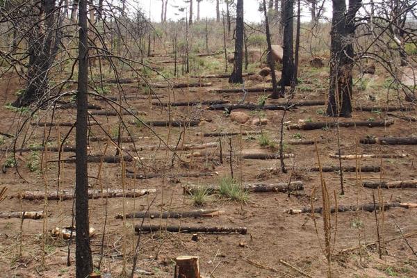
A post-fire sediment assessment and The Waldo Canyon Fire Master Plan for Watershed Restoration and Sediment Reduction were completed in the spring of 2013. Both documents were used to guide all on- the-ground work completed within the Waldo Canyon Burn Scar. Due to the severity and location of the burn, downstream water resources are continually threatened by increased sedimentation caused by soil runoff originating from the burn scar. In addition, flash flooding and heavy debris flows that occur with storm events pose great risk to both the ecological health of the area as well as the safety of individuals recreating within the burn scar. Since the spring of 2013, RMFI, in close coordination with the US Forest Service, has worked extensively within the Waldo Canyon Burn Scar completing hillslope stabilization, infrastructure protection, revegetation, and flood mitigation work.
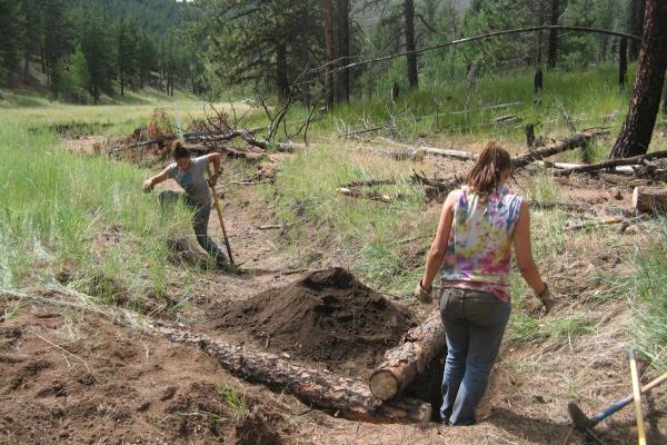
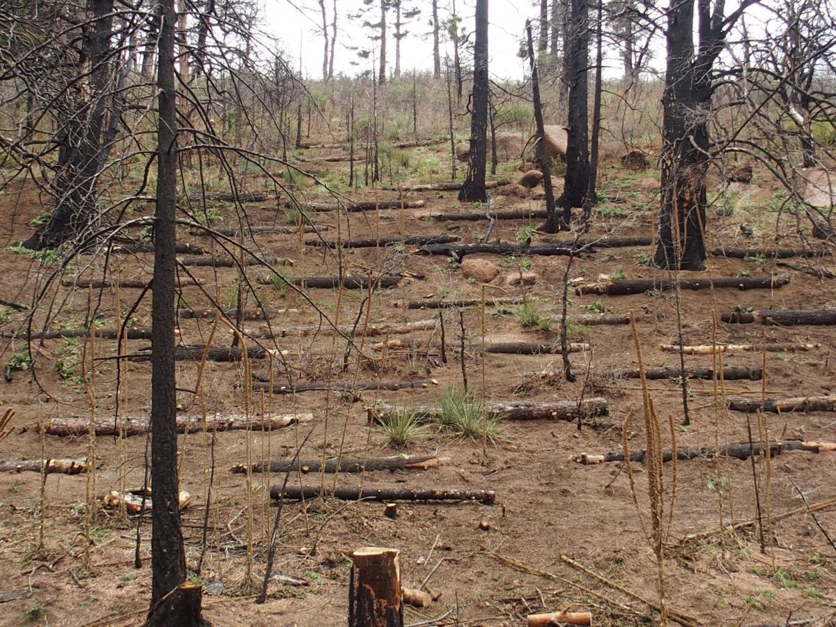
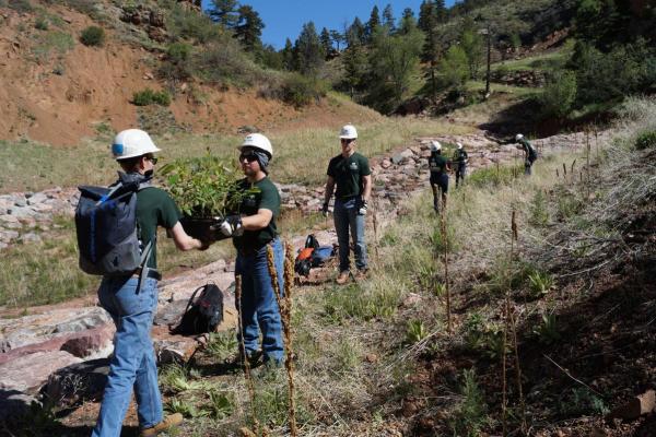
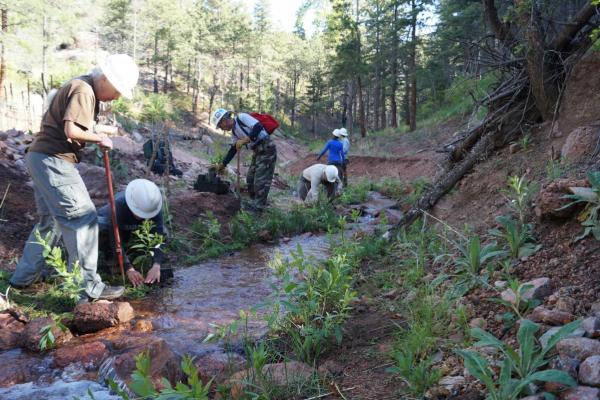
RMFI's work in the burn scar has focused on two key components: slope stabilization and revegetation. With the loss of vegetation due to the fire, there is no root structure to hold soil in place. It then takes very little erosional force to begin transporting sediment down stream. RMFI spent 3 years working on stabilizing the steep slopes in the Waldo Canyon Fire burn scar. Once the soils were stabilized, crews initiated vegetation growth by seeding and planting.
NATIVE LANDS
We recognize the following nations, whose traditional territory we worked on in Waldo Canyon:
- Núu-agha-tʉvʉ-pʉ̱ (Ute)
- Cheyenne
- Jicarilla Apache
WORK OBJECTIVES
-
Reimagine Waldo Canyon
In 2018, RMFI received a planning grant from the Colorado Parks and Wildlife State Trails grant program to initiate a public planning process for Waldo Canyon. Through June 2020, RMFI worked closely with the U.S. Forest Service, City of Colorado Springs, Trails and Open Space Coalition, and Tapis Associates to generate a set of recommendations for Waldo Canyon with regard to public access, trails, and outdoor recreation opportunities. For more information on the project, please visit www.waldocanyonplanning.com. RMFI will continue working with partners in the coming years to implement project objectives.
PROJECT PARTNERS AND FUNDERS
- City of Colorado Springs
- Coalition for the Upper South Platte
- Colorado Parks & Wildlife
- Colorado Water Conservation Board
- El Paso County Regional Watershed Collaborative members
- FedEx
- Mile High Youth Corps
- National Fish and Wildlife Foundation
- National Forest Foundation
- Pikes Peak Community Foundation
- Southwest Conservation Corps
- U.S. Forest Service
- Waldo Waldo, Inc.